Map Info & Chart : Dymaxion Projection Image Needed for School Project

Hello!
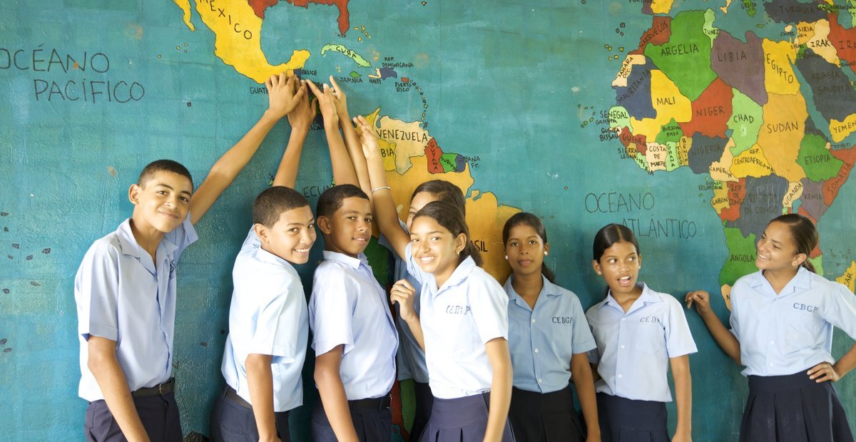
I am a Peace Corps Volunteer in Georgia and I am hoping to do a World Map Project (https://www.peacecorps.gov/educators/resources/world-map-project/) at my school. I would like to use an unusual projection to challenge my students to think a little harder, and I’ve chosen the Dymaxion Projection because of a previous personal appreciation for Buckminster Fuller. However, I have not been able to find a large (large enough to be projected on a wall without getting too blurry and traced) image of it with country borders.
Does anyone know where I might find such an image? Unfortunately my resources are quite limited, and I don’t know that much about the world of contemporary mapmaking. I’m also open to other projection ideas that are aesthetically interesting/pleasing and intellectually stimulating!
Thank you!
By katharinegk
At infographic.tv we provide handpicked collection of the best infographics and data charts from around the world.


