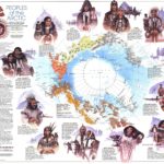
Map Info & Chart : [HELP] Need a detailed map of Northern Canada up to Beechey Island, while still retaining the original names given by the 18th century explorers.

I’m reading a book about the search for the Northwest passage, however, it’s quite difficult to track all the sounds, inlets and islands (especially the dozen ‘Barrow’ ones). Any of you OG’s can link to me a map of northern Canada like specified in the title?
**EDIT:**
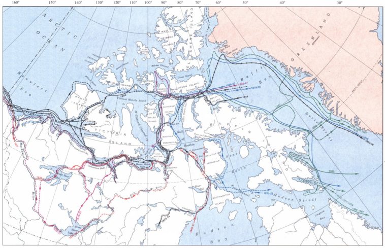
* Found a map which not only contains the Victorian era names, but also the course of each expedition (including those sponsored by Hudson Bay Company) – [here](https://tce-live2.s3.amazonaws.com/media/media/7187bdd1-cc50-4ad2-b7ba-b2dfe19f3cdb.jpg).
* u/VinzShandor provided a map, which still retains some of the nomenclature and provides a more in-depth look at the area – [here](https://open.canada.ca/data/en/fgpv_vpgf/055919c2-101e-4329-bfd7-1d0c333c0e62).
By He_Attacks_Again_
At infographic.tv we provide handpicked collection of the best infographics and data charts from around the world.