Map Info & Chart : Location “drill-down” map for the geogeek in you…
Check out [Location Explorer on Google Maps](https://www.randymajors.com/p/locationinfoongooglemaps.html)
For any US place or address, you’ll get a page showing interactive Google Maps of the following:
* City Limits
* County Lines
* State Lines
* ZIP Code Boundaries
* Area Code Boundaries
* US Congressional District Boundaries
* Latitude and Longitude (by request, I’ve also added Township and Range to this map window, where applicable)
* Watershed (also known as Drainage Basin)
* Closest National Park or National Forest, including boundaries
* Elevation
* Slope (the steepness of the land)
* Aspect (the compass direction the land slopes down in)
​
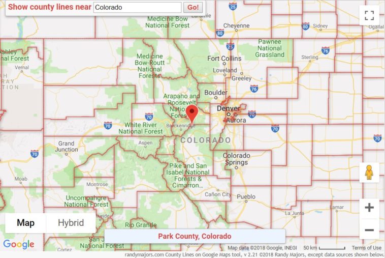
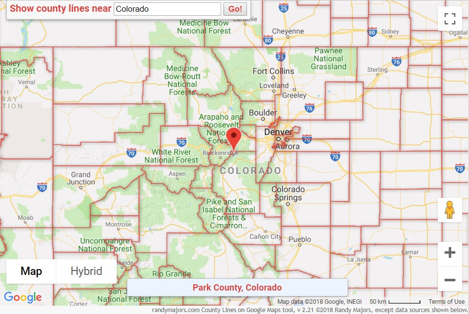
More info [here](https://www.randymajors.com/2019/05/for-map-and-geography-geek-in-you.html). Hope it’s useful or even fun! Sample screenshot using an address in Salt Lake City:
​
https://i.redd.it/b5ojxgxf1ny21.png
I’ve added a new option to the tool to “Show climate info” for any U.S. location. Just click the box at the top of the map, and the following will appear for your chosen location:
Avg Summer High Temp
Avg Summer Low Temp
Change from Historical Summer Avg Temp
Avg Winter High Temp
Avg Winter Low Temp
Change from Historical Winter Avg Temp
Avg Spring/Summer Precip
Avg Fall/Winter Precip
Change from Historical Annual Avg Precip
The definitions for all of these are described in detail below the map, along with legends and other tips. I’ll do a blog post about it at some point. Sample screenshot below:
https://i.redd.it/p63o1qztwtz21.png
By rlmcony
At infographic.tv we provide handpicked collection of the best infographics and data charts from around the world.