Map
Latest infographics
-
-
in Map
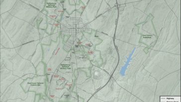
Map : I made this map of Gettysburg National Military Park. It’s designed to be an 11”x14” printed map so some of the labels might be hard to read on here. What’s everyone think? I got most vector data from OSM and the elevation from USGS then extracted the contours. Everything was done in QGIS
-
-
-
-
-
-
-
-
-
-
-
-

