Map Info & Chart : 1748 map of the 7 united provinces (The Netherlands) by Robert de Vaugondy.
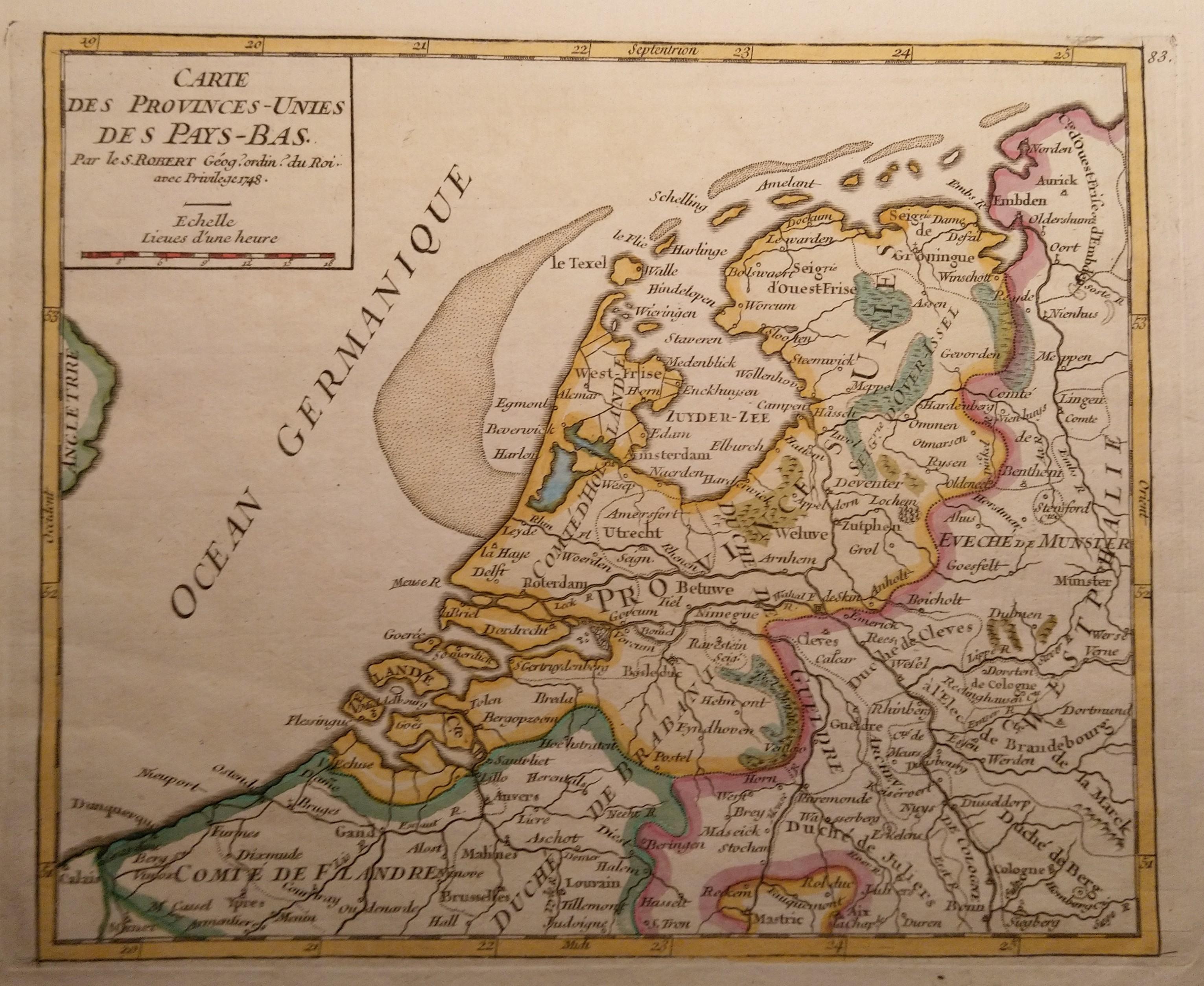
1748 map of the 7 united provinces (The Netherlands) by Robert de Vaugondy.
By Lobbeh
At infographic.tv we provide handpicked collection of the best infographics and data charts from around the world.