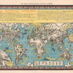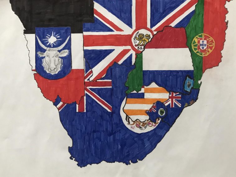
Map Info & Chart : A map of Southern Africa before the Second Boer War (1899-1902) [3694 x2775]
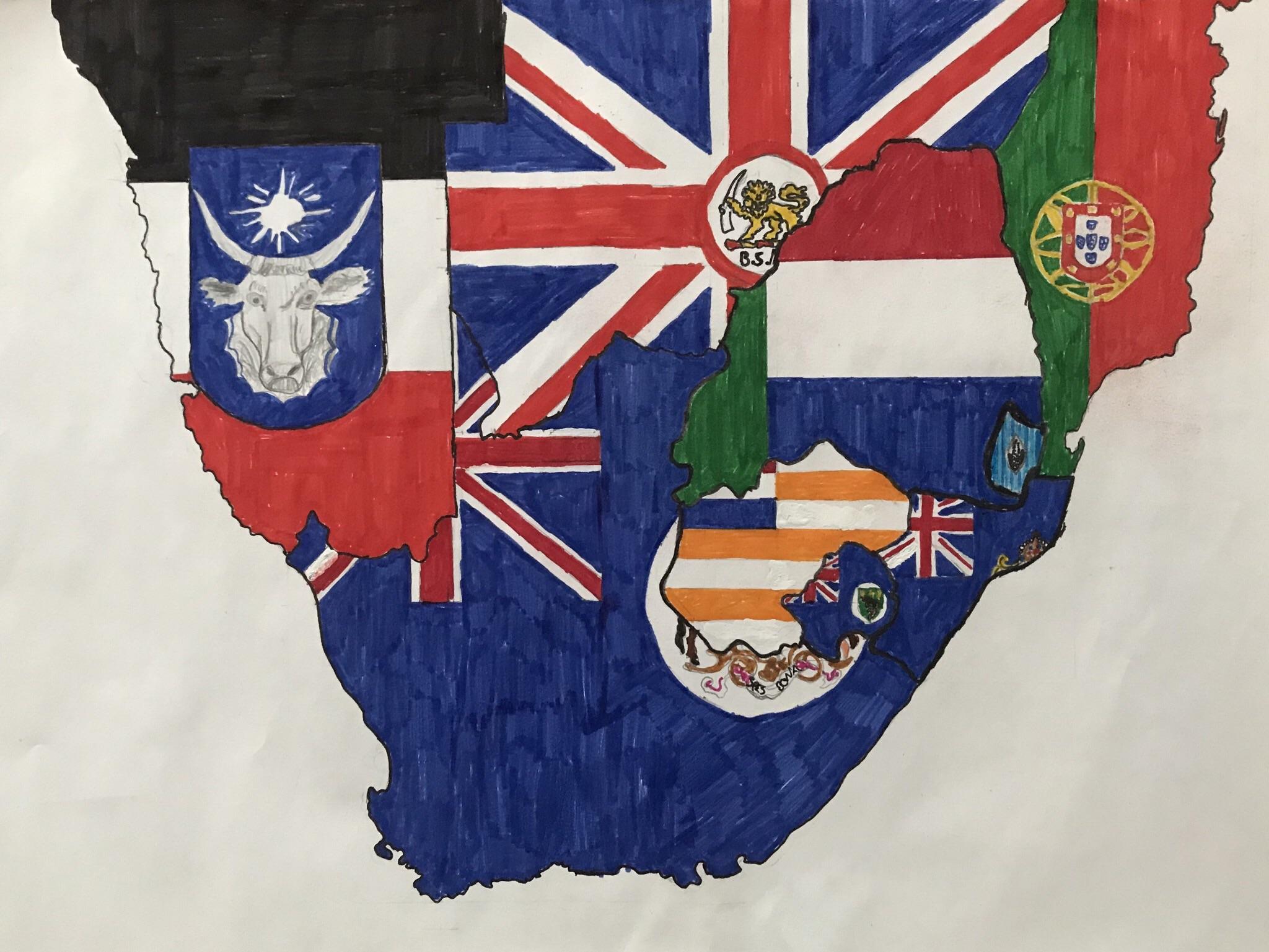
A map of Southern Africa before the Second Boer War (1899-1902) [3694 x2775]
By Ekn_38
At infographic.tv we provide handpicked collection of the best infographics and data charts from around the world.