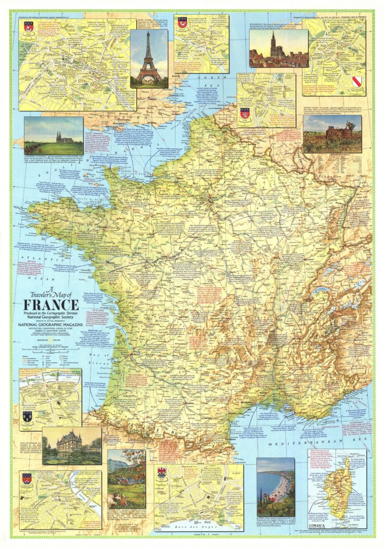
Map Info & Chart : A Traveler’s Map of France, National Geographic Society, 1971. [2400×3422]
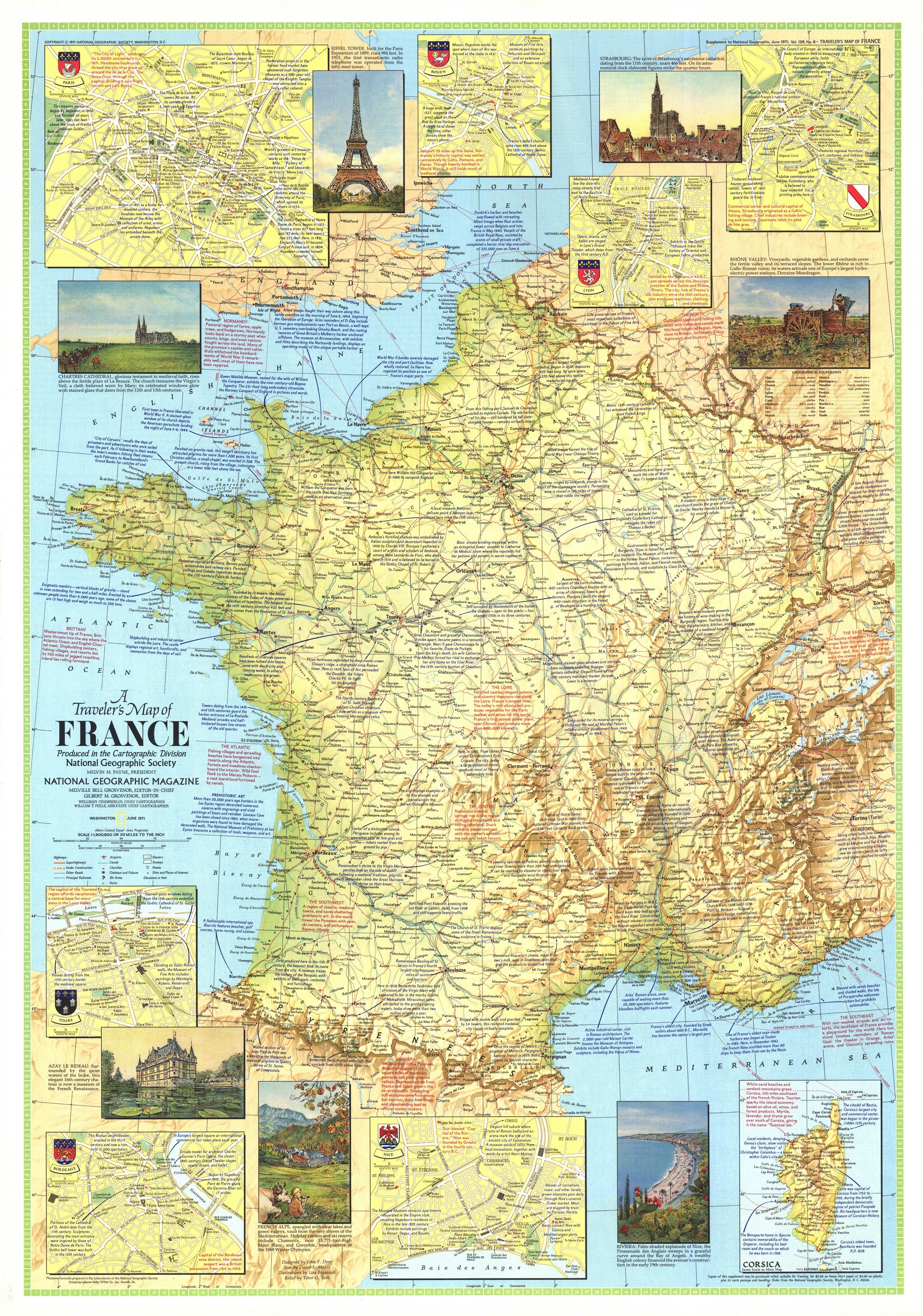
A Traveler’s Map of France, National Geographic Society, 1971. [2400×3422]
By panuchazo
At infographic.tv we provide handpicked collection of the best infographics and data charts from around the world.