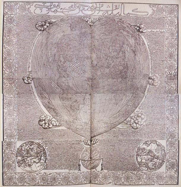
Map Info & Chart : ‘Complete and Perfect’ spheroid ancient map published in 1559 by a Turk shows 55mi land bridge connecting Siberia to Alaska as appeared in Pleistocene Ice Age 12,000 yrs ago!

‘Complete and Perfect’ spheroid ancient map published in 1559 by a Turk shows 55mi land bridge connecting Siberia to Alaska as appeared in Pleistocene Ice Age 12,000 yrs ago!
By gematrix
At infographic.tv we provide handpicked collection of the best infographics and data charts from around the world.


