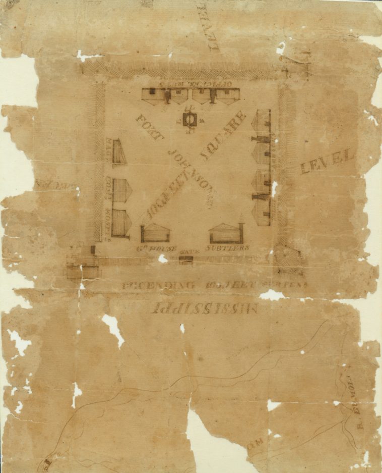
Map Info & Chart : Hand-drawn map of Fort Johnson in Davenport, Iowa, during the War of 1812. Made shortly after the Battle of Credit Island in September 1814.
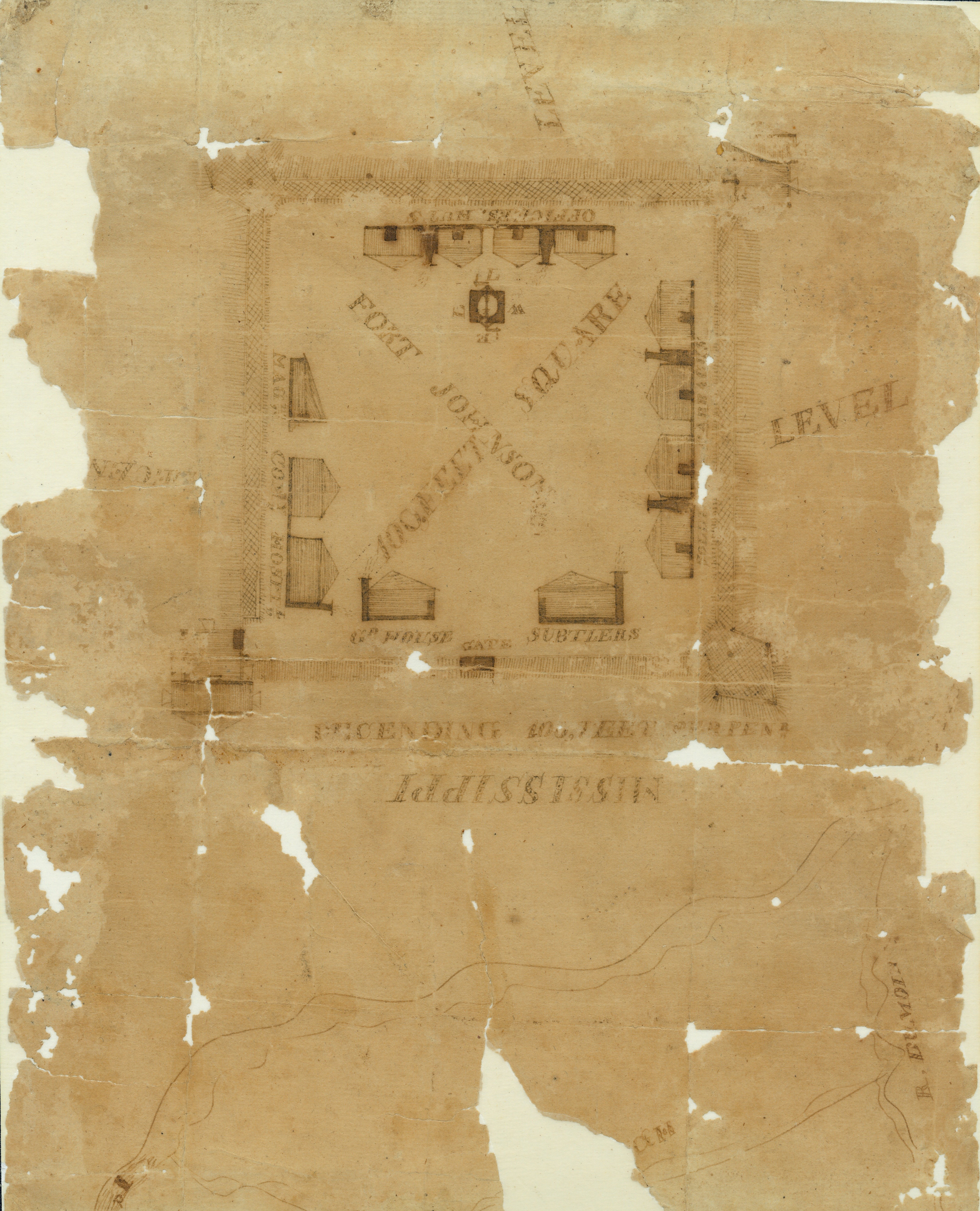
Hand-drawn map of Fort Johnson in Davenport, Iowa, during the War of 1812. Made shortly after the Battle of Credit Island in September 1814.
By chubachus
At infographic.tv we provide handpicked collection of the best infographics and data charts from around the world.