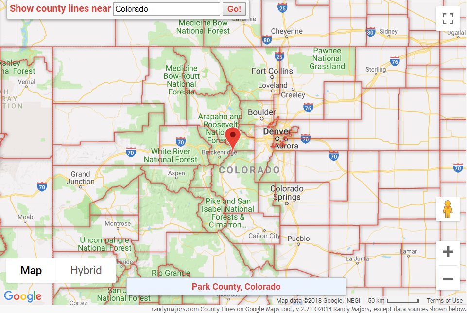
Map Info & Chart : How to see all County boundary lines on Google Maps

Shortcut to the tool: [County Lines on Google Maps](https://www.randymajors.com/p/countygmap.html)
Ever notice that Google Maps doesn’t show U.S. county lines? If you’ve tried to display them, you’ve probably noticed that the best you can do is to get one county’s boundaries to draw at a time by searching for that county. But you can’t see all the county boundaries at the same time for an area.
I already have a widely used free [Historical U.S. County Boundary Maps](https://www.randymajors.com/p/maps.html) tool on Google Maps, so since I’ve seen quite a few people on various forums complain about Google Maps not showing county boundaries, I created another free interactive tool that overlays [County Lines on Google Maps](https://www.randymajors.com/p/countygmap.html). Complete coverage for the [US](https://www.randymajors.com/2018/09/noteworthy-enhancements-to-county-lines.html), [UK, Ireland](https://www.randymajors.com/2018/09/county-lines-across-pond-uk-and-ireland.html) and [Australia](https://www.randymajors.com/2018/09/county-lines-in-google-maps-adds.html), [New Zealand, Canada and Switzerland](https://www.randymajors.com/2018/09/county-lines-on-google-maps-tool-adds.html). You can find usage tips below the tool, and several notes about the tool on my [blog](https://www.randymajors.com/).
Hope it can be of use!
(Also, here is a tool to show [ZIP Codes on Google Maps](https://www.randymajors.com/p/zipcodegmap.html))
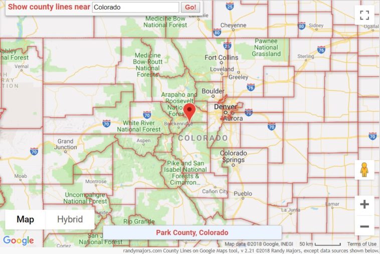
[County boundary lines in and around Colorado, shown in County Lines on Google Maps tool](https://i.redd.it/7kdclc9j1mn11.png)
By rlmcony
At infographic.tv we provide handpicked collection of the best infographics and data charts from around the world.


