Map Info & Chart : “Navigating New York” Now On View at the New York Transit Museum: nytransitmuseum.org/exhibits

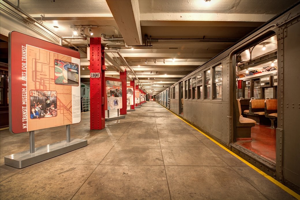
The Transit Museum’s new exhibit, ***Navigating New York,*** explores the history of transportation maps and wayfinding. The exhibit draws on the Museum’s collection, artistic renderings, historical maps, guidebooks and digital technology. More info at [nytransitmuseum.org/exhibits](https://nytransitmuseum.org/exhibits).
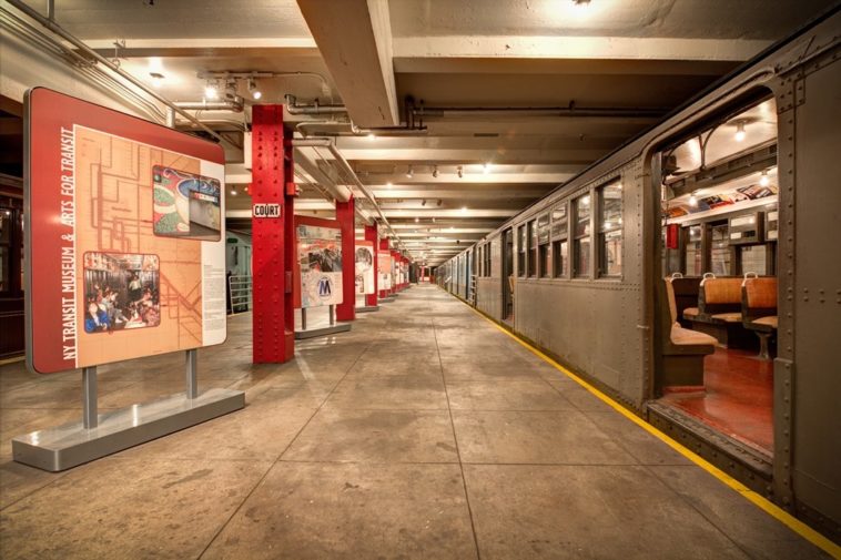
[\”Navigating New York\” Exhibit at the New York Transit Museum in Brooklyn. Photo by Filip Wolak.](https://i.redd.it/0w39qkta3lr11.jpg)
Some of the maps featured in the exhibition:
[1939 map issued by the Interborough Rapid Transit Company to highlight special routes to the 1939-1940 World’s Fair; New York Transit Museum. ](https://i.redd.it/zxifn7s03lr11.jpg)
[1950s map from the \”Hudson Tubes Recreation Guide\” showing direct train access from New Jersey to Downtown and Midtown business districts in Manhattan marked with hearts; New York Transit Museum.](https://i.redd.it/gjbf3nbj3lr11.jpg)
[1972 diagrammatic map of the New York City subway system by Unimark International designers Bob Noorda and Massimo Vignelli; New York Transit Museum. ](https://i.redd.it/ryj1slcx3lr11.jpg)
[This 1974 Commuter Rail Map was inspired by Unimark International’s streamlined concept; New York Transit Museum. ](https://i.redd.it/e4k9wy4h4lr11.jpg)
[This painted map, created in 2007 by celebrated graphic designer Paula Scher, features torrents of information and colorful layers of type and image; Courtesy of the artist. ](https://i.redd.it/whozqanm4lr11.jpg)
Plan your visit at [nytransitmuseum.org](https://www.nytransitmuseum.org).
By heychel-c
At infographic.tv we provide handpicked collection of the best infographics and data charts from around the world.


