Map Info & Chart : [QUESTION]What coordinate system is my map using, and how can I convert it to the one that Google Maps uses?
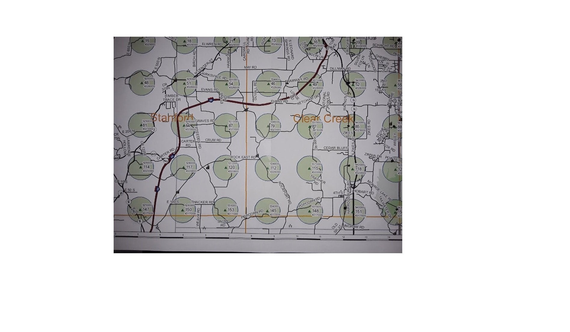
I’m trying to convert the coordinates on [this](https://i.imgur.com/zMf0n0V.jpg) map to what Google Maps uses, but I have no idea how. I need to plot each of the little green triangles in the green circles. I figured that if I could convert to the right coordinate format, I’d be able to plot with 100% accuracy, and do so much more efficiently.
All [I know](https://i.imgur.com/f1pGU4h.png) is that the top string is East, and the bottom string is North. The middle two-three digit number is just the name of the site.
What do you guys make of it?
This map is in Indiana, U.S.A.
By Masterbajurf
At infographic.tv we provide handpicked collection of the best infographics and data charts from around the world.