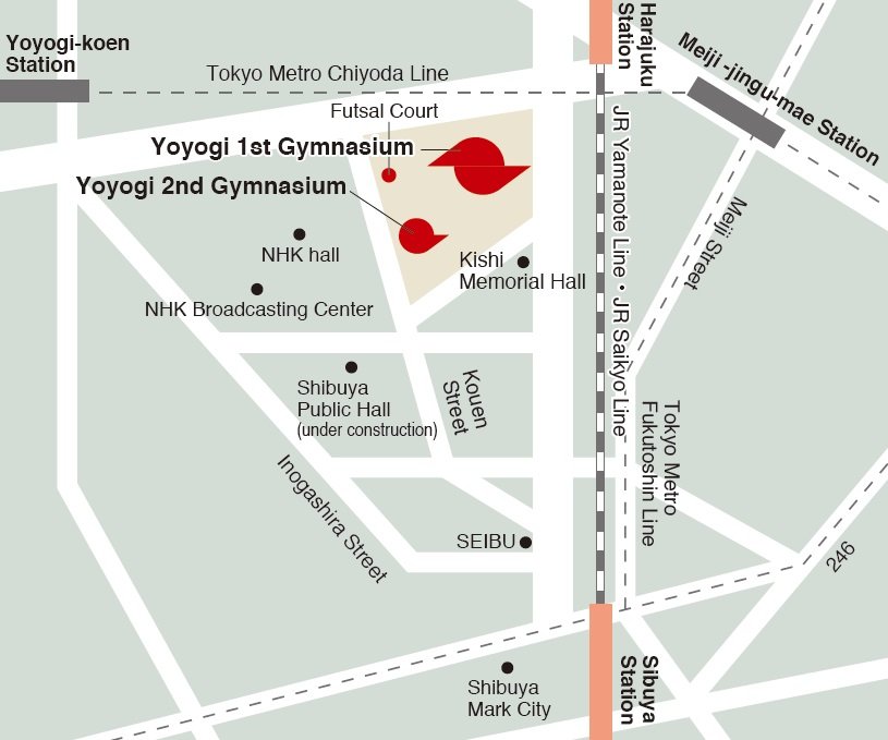
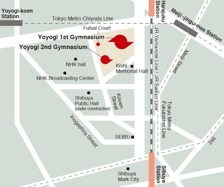
Map Info & Chart : What is a good open source software to create access maps?

I wrote open source, but let’s say “preferably” open source. I’m open to not too expensive softwares too.
What I’m looking for is to draw maps [like these for example.](https://www.jpnsport.go.jp/corp/english/about/tabid/398/Default.aspx)
Really simple access maps, and if available the possibility to import images to embellish it (for example, a simple vector image of a train, or police station).
Thank you.
**EDIT: Forgot to mention, it’s a must to allow commercial use**
By LeonInJapan
At infographic.tv we provide handpicked collection of the best infographics and data charts from around the world.


