Map Info & Chart : Help with map scales and protractor?
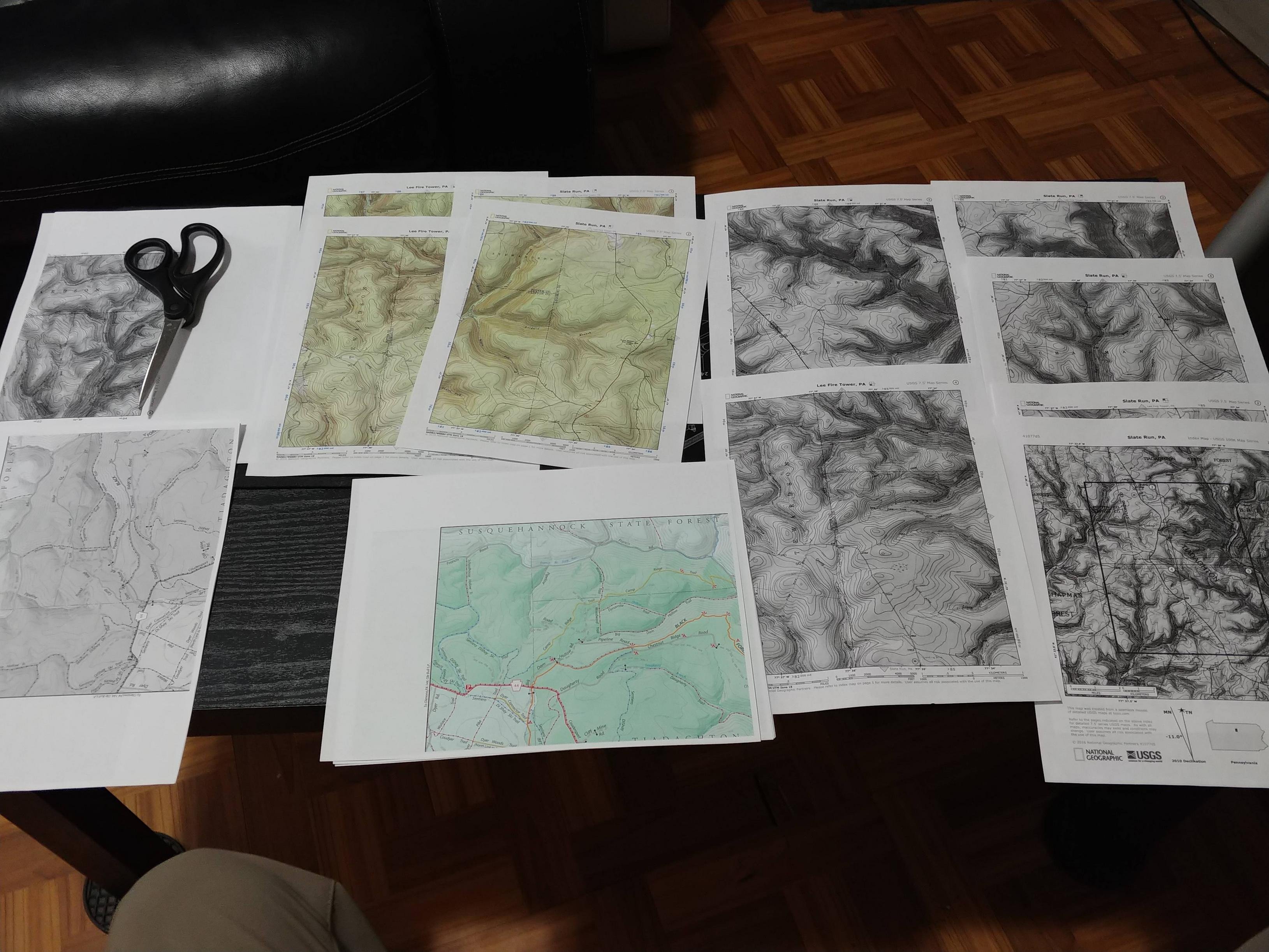
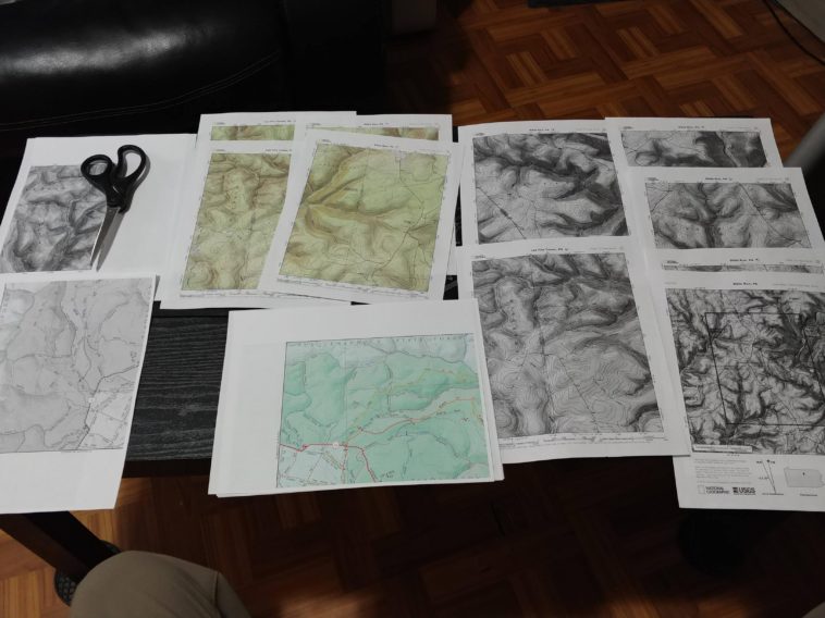
So I spent 2hrs last night making maps for an upcoming multi-day camping and hiking trip.
I was so happy with how they came out but after checking what scale they are I’m slightly less enthused.
Imgur album: https://imgur.com/a/AoNACkp
According to [MapTools](https://www.maptools.com/scale_calculator) I’m getting 1:30720 for the NatGeo TOPO Map and 1:19495 for the State Trail map
I guess my question is did I make an error in printing? (I printed to full page no scaling/sizing) Or are these maps and protractor not designed to work together? (I figured the trail map wouldn’t be compatible but topo maps from nat geo I expected to work)
I have this [Protractor](https://www.amazon.com/gp/product/B003NAOERO/ref=ppx_yo_dt_b_asin_title_o02_s00?ie=UTF8&psc=1) that is for
1:24,000
1:25,000
1:50,000
1:10,000
1:100,000
1:250,000
1:500,000
I used [National Geographic Quad Maps](https://www.natgeomaps.com/trail-maps/pdf-quads) for the smaller one (Quad names Lee Fire Tower and Slate Run)
And
[Pennsylvania’s DCNR Black Forest Trail Map (PDF WARNING)](http://www.dcnr.state.pa.us/cs/groups/public/documents/document/dcnr_20032741.pdf)
Yeah it’s probably overkill and I’m over thinking it but I just want it to be right.
If this is not the right sub I apologize, please direct me to a better sub if possible.
By Kommando666
At infographic.tv we provide handpicked collection of the best infographics and data charts from around the world.