Map Info & Chart : How can you see city limits on Google Maps
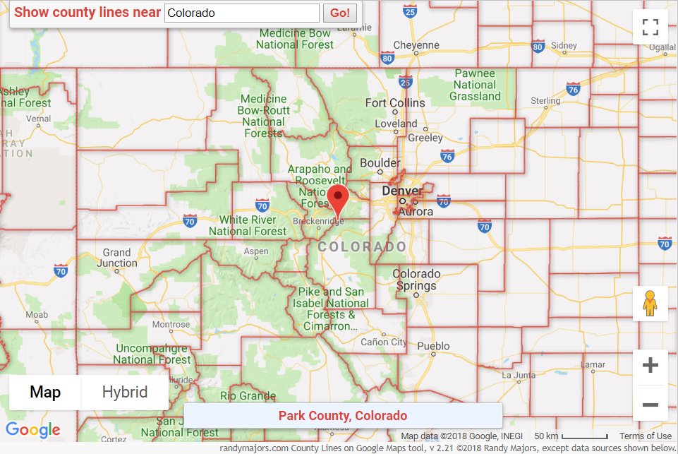
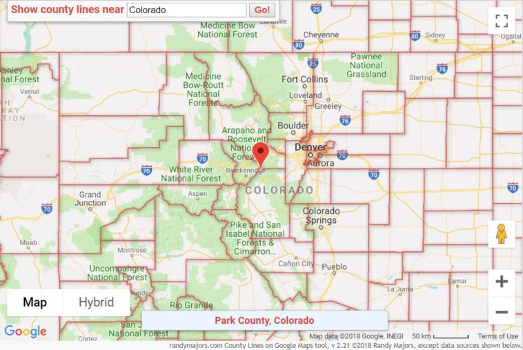
After creating the [County Lines on Google Maps](https://www.randymajors.com/p/countygmap.html) tool, I had a number of requests for people who wanted even more detail…particularly to show [city limits on Google Maps](https://www.randymajors.com/p/citylimitsongooglemaps.html). (You can see only ONE city’s boundaries at a time on standard Google Maps; you can’t view ALL of them at once)
City limit boundaries can be quite detailed of course, so this took some extra time to figure out how to do. But here it is: [City Limits on Google Maps](https://www.randymajors.com/p/citylimitsongooglemaps.html).
It’s the first version of it, so please let me know if you encounter errors. Hope it’s helpful.
A little write-up about it can be found [here](https://www.randymajors.com/2019/04/how-can-you-see-city-limits-on-google.html), and be sure and read the usage notes below the map tool.
By rlmcony
At infographic.tv we provide handpicked collection of the best infographics and data charts from around the world.