Map Info & Chart : I made a wood burnt map of Cape Cod using OSM data. Included Major Roads, Cities, Peaks, Lakes and Parks. 1/4″ Maple ply. Offset 1/3″ from the wall.
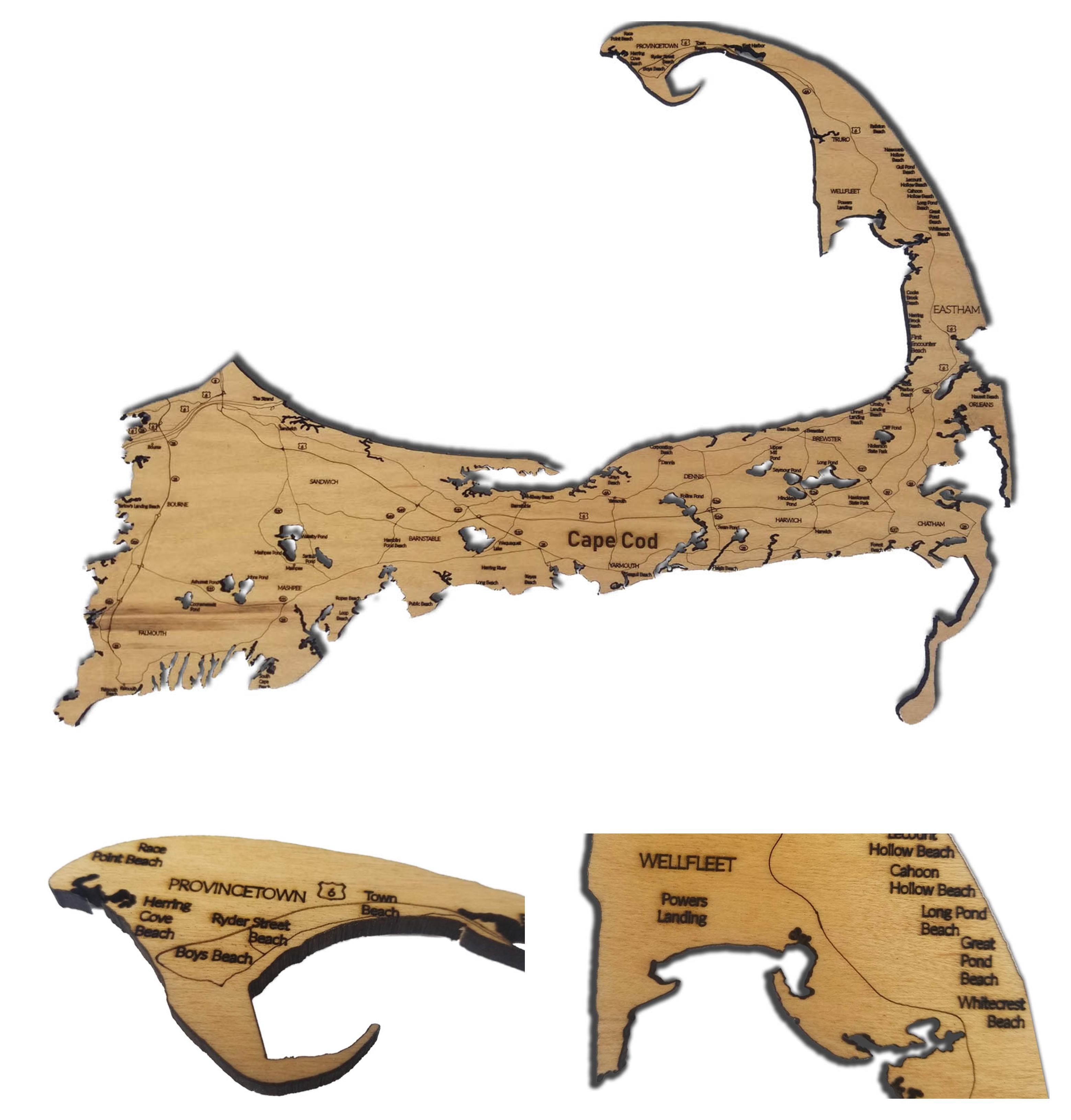
I made a wood burnt map of Cape Cod using OSM data. Included Major Roads, Cities, Peaks, Lakes and Parks. 1/4″ Maple ply. Offset 1/3″ from the wall.
By DrLaserStein
At infographic.tv we provide handpicked collection of the best infographics and data charts from around the world.