Map Info & Chart : Map of the North Pole from Seller’s Atlas Maritimus: London, 1677 [1600×1299]
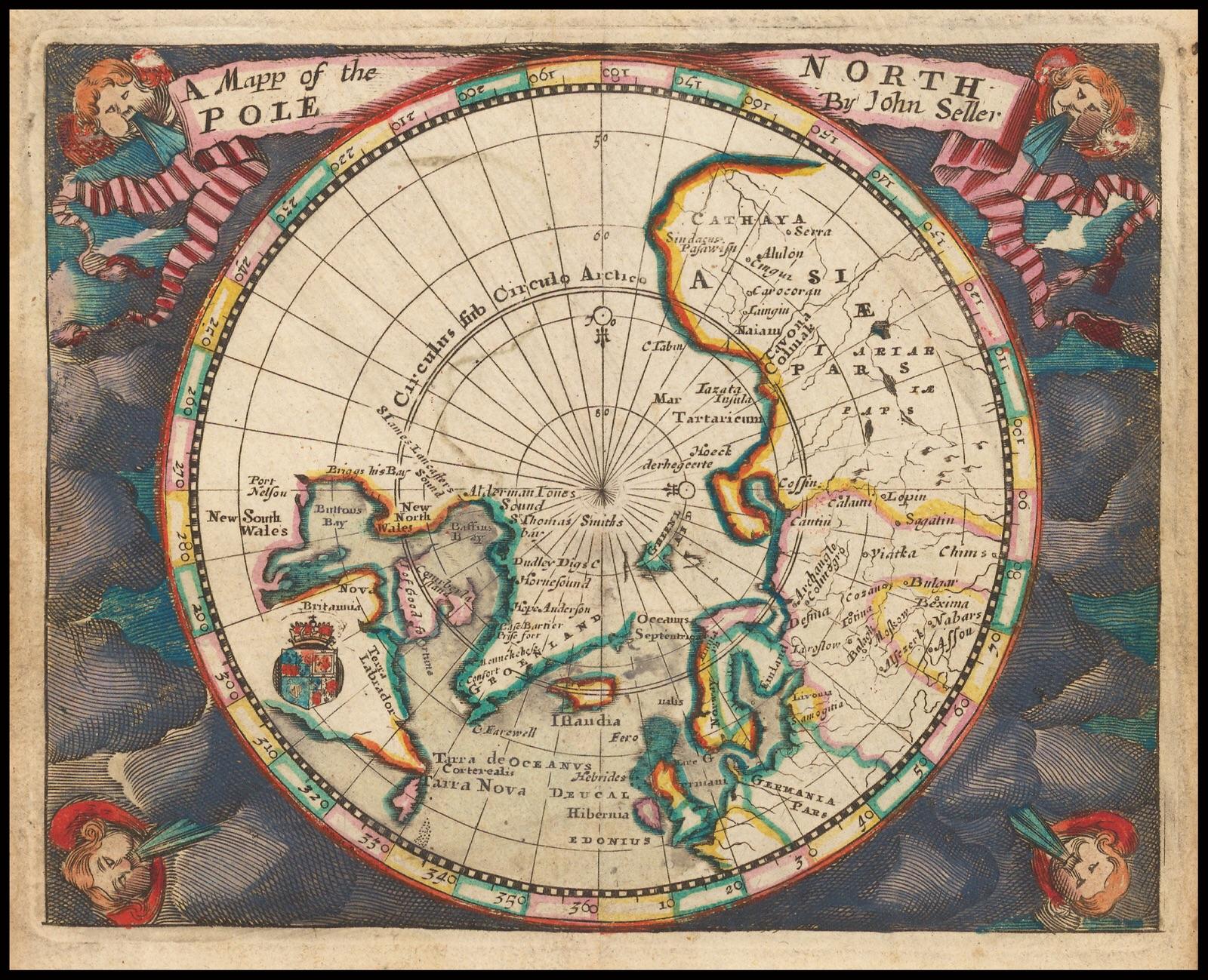
Map of the North Pole from Seller’s Atlas Maritimus: London, 1677 [1600×1299]
By tycrew
At infographic.tv we provide handpicked collection of the best infographics and data charts from around the world.