in

Map : Scale map of Split, Croatia in medieval times

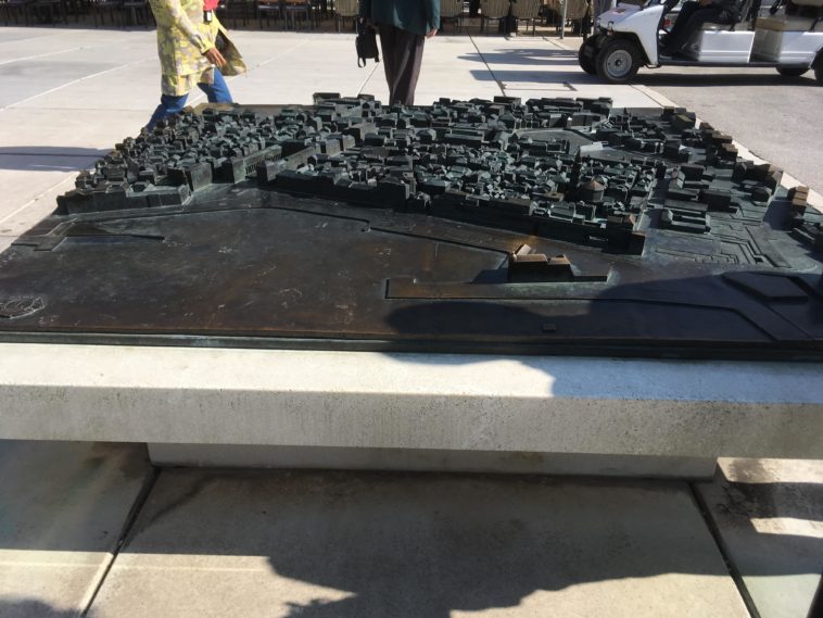
Map Info & Chart : Scale map of Split, Croatia in medieval times

Scale map of Split, Croatia in medieval times

By UncreativeName124

At infographic.tv we provide handpicked collection of the best infographics and data charts from around the world.

  • Sharing is caring !
  • What do you think?

    459 points
    Upvote Downvote

    Leave a Reply

    Your email address will not be published. Required fields are marked *

    Loading…

    Map : An old Spanish globe I found in an airbnb. Spent ages trying to figure out the date to then find it was dated 1541. Clockwise from top left: 1. Confusing looking Eastern Asia. 2. A partly explored North America. 3. South America connected to Antarctica. 4. Australia also connected to Antarctica.

    Visual : The 7 Biggest US Airlines by passengers carried – 2018