Map Info & Chart : What does dark green topography on Snap maps represent? Forests, rural areas, mountains? I can’t figure it out
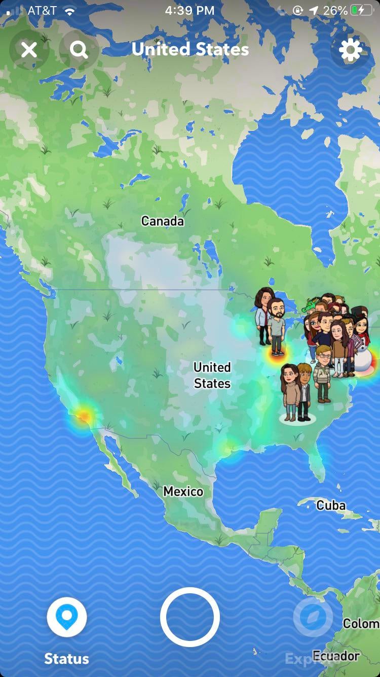
What does dark green topography on Snap maps represent? Forests, rural areas, mountains? I can’t figure it out
By kvveldo
At infographic.tv we provide handpicked collection of the best infographics and data charts from around the world.