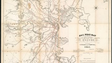
in Map Map : Rail Road Map showing the street rail road routes in and leading from Boston, with the terminus of each road in suburban cities or towns, 1865. [4348×5000]
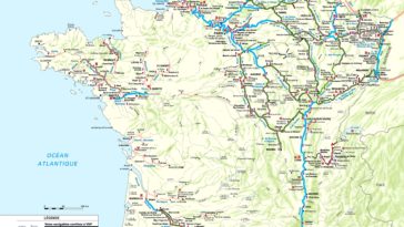
in Map Map : tourisme fluvial : le réseau navigable en France (2017 ) /// river tourism : the navigable network in France (2017)
in Map Map : Second of four: Change in Europe, 5th & 6th centuries A.D. Europe c. 526. Muir, Ramsay, and George Philip. Philips’ Historical Atlas: Mediæval and Modern. 6th ed., George Philip & Son, Ltd., 1927.