in

Map : Information in these 2 old maps?

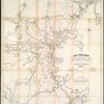
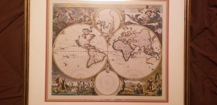
Map Info & Chart : Information in these 2 old maps?

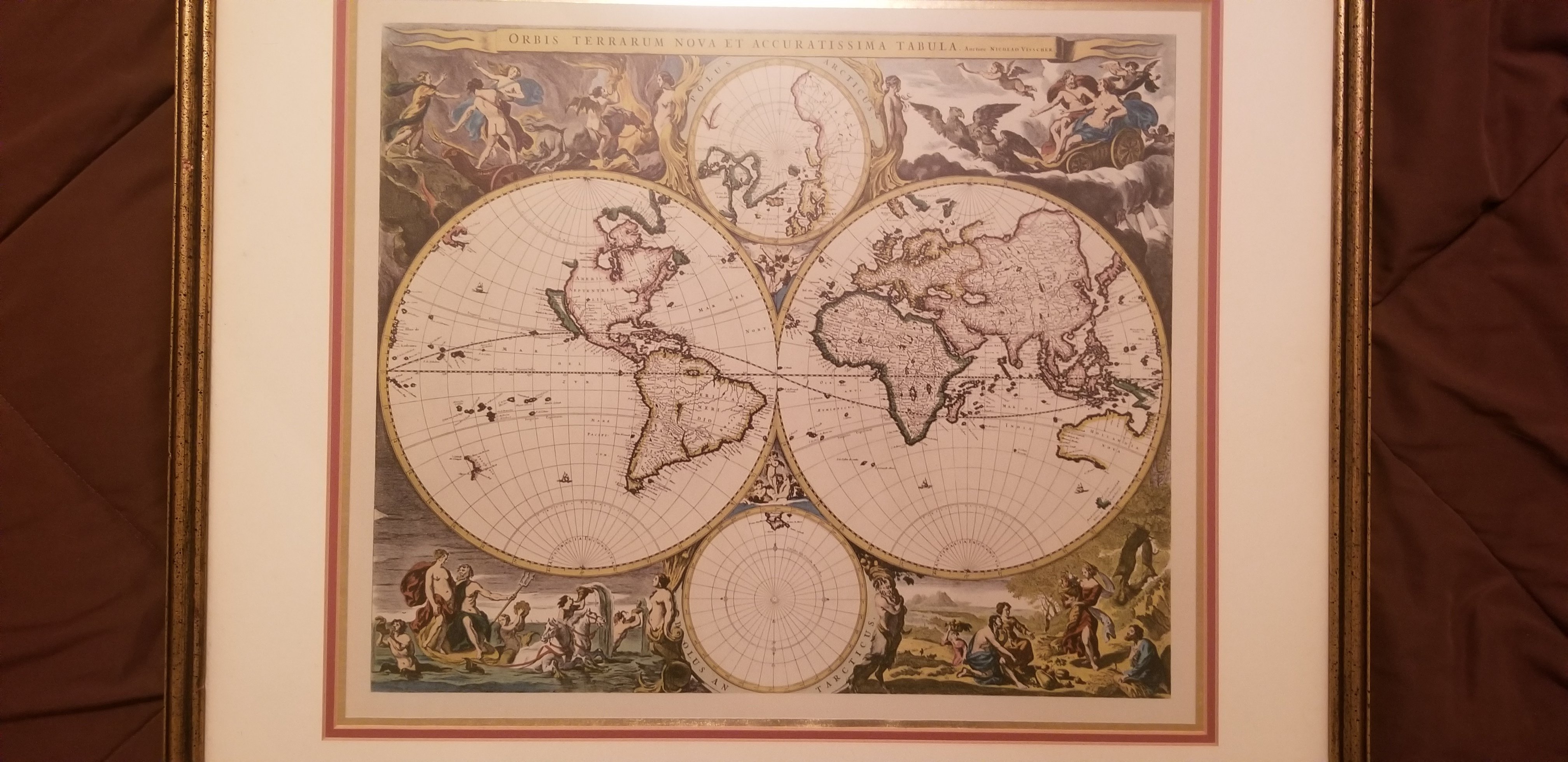
I have had these hanging up for years now and I finally want to get some information on them. Someone took the time to have them framed pretty nicely. Any info would be much appreciated!

http://imgur.com/gallery/L4ka0ur

By Complexity114

At infographic.tv we provide handpicked collection of the best infographics and data charts from around the world.

  • Sharing is caring !
  • What do you think?

    459 points
    Upvote Downvote

    Leave a Reply

    Your email address will not be published. Required fields are marked *

    Loading…

    Map : tourisme fluvial : le réseau navigable en France (2017 ) /// river tourism : the navigable network in France (2017)

    Map : Rail Road Map showing the street rail road routes in and leading from Boston, with the terminus of each road in suburban cities or towns, 1865. [4348×5000]